
Aerial
Image
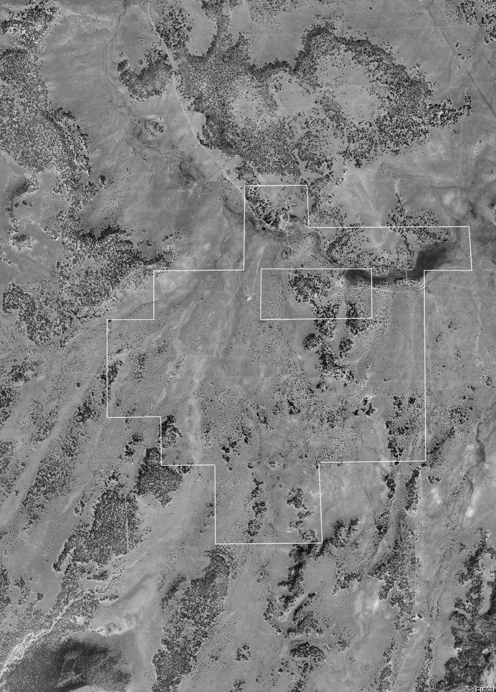
Basemap source: Courtesy of the USGS, Image taken on May 22, 1998. The ranch
boundaries are approximate in this map.
Please click here or press the "Back" button
on your browser to return to the brochure.
Aerial
Image
Basemap source: Courtesy of the USGS, Image taken on May 22, 1998. The ranch
boundaries are approximate in this map.
Please click here or press the "Back" button
on your browser to return to the brochure.
|
Disclaimer: This information was obtained
from sources deemed to be reliable but is not guaranteed by the Broker.
Prospective buyers should check all the facts to their satisfaction.
The property is subject to prior sale, price change, or withdrawal.
|