|
Pictures
Please click on any of the maps for a larger view
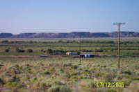
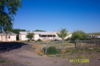
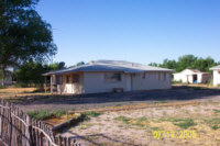
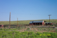
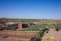
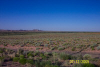
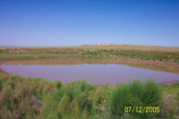
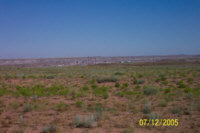
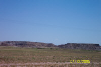
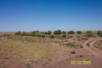
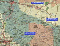
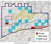
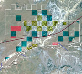
The ranch is located in east central Navajo County, in the north eastern portion of Arizona. The ranch is approximately 180 miles north east of Phoenix and 7 miles east of Holbrook, Arizona near the Petrified Forest National Park. The ranch headquarters is located 15 miles east of Holbrook off of the Adamana exit from Interstate 40. Approximately two-thirds of the ranch lies north of I-40 and the remaining one-third is south of I-40. The deeded land is located in several non-contiguous parcels with two primary blocks of approximately 320 acres each. Interstate 40 runs through the ranch from east to west with ranch access from the Sun Valley exit and the Adamana exit. Access to the interior of the ranch is provided by numerous public and private dirt roads. |
||||||||||||||||||||||||||||||||||||||||||||||||||||||||
|
|
||||||||||||||||||||||||||||||||||||||||||||||||||||||||
|
||||||||||||||||||||||||||||||||||||||||||||||||||||||||
Legal Description Township 18 & 19 North Range 22 & 23 East Gila and Salt River Baseline and Meridian Portions thereof Navajo County Assessor parcel numbers:
|
||||||||||||||||||||||||||||||||||||||||||||||||||||||||
|
|
||||||||||||||||||||||||||||||||||||||||||||||||||||||||
|
||||||||||||||||||||||||||||||||||||||||||||||||||||||||
|
Property
Description Elevation ranges from 5,300' to 5,800', and the headquarters situated at 5,400'. Topography is sloping to rolling to mesas. Vegetation is Plains & Desert Grassland. Rainfall averages 7.37" per year at Holbrook. Water
Soils
Price Printable
Brochure Contact See
also Disclaimer: This information was obtained from sources deemed to be reliable but is not guaranteed by the Broker. Prospective buyers should check all the facts to their satisfaction. The property is subject to prior sale, price change, or withdrawal. Keywords - real estate , land , property , acreage , 86025 85942 86502 86029 86028 86509 , snowflake , taylor , woodruff , book 105 106 , painted desert |
